Tramlines
-
 by
jules
by
jules
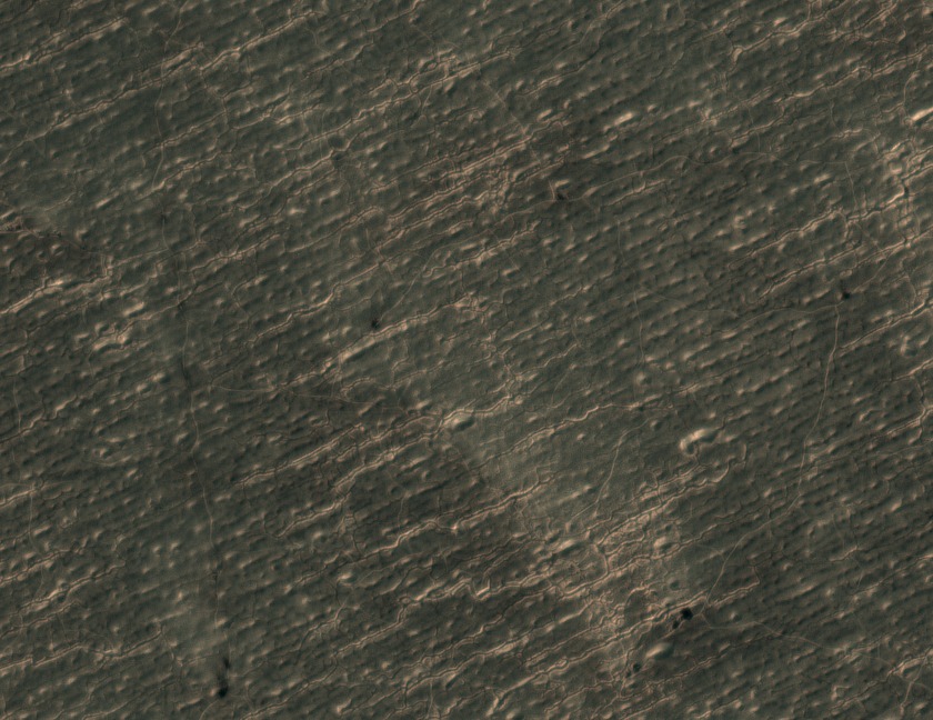
Any idea what caused these curious parallel lines?
Posted
-
 by
Portyankina
scientist
by
Portyankina
scientist
To my eye they looks similar to glacier markings, we need to show it to a glaciologist!
Posted
-
by
Portyankina
scientist
Hi again!
I actually showed this frame to a glaciologist today. He said, he has to see "larger picture" to say something definite. So, I'll follow up on this when software team releases to us some of your data and I can find out the location of these grooves.
Thanks for the help!
AnyaPosted
-
by
jules
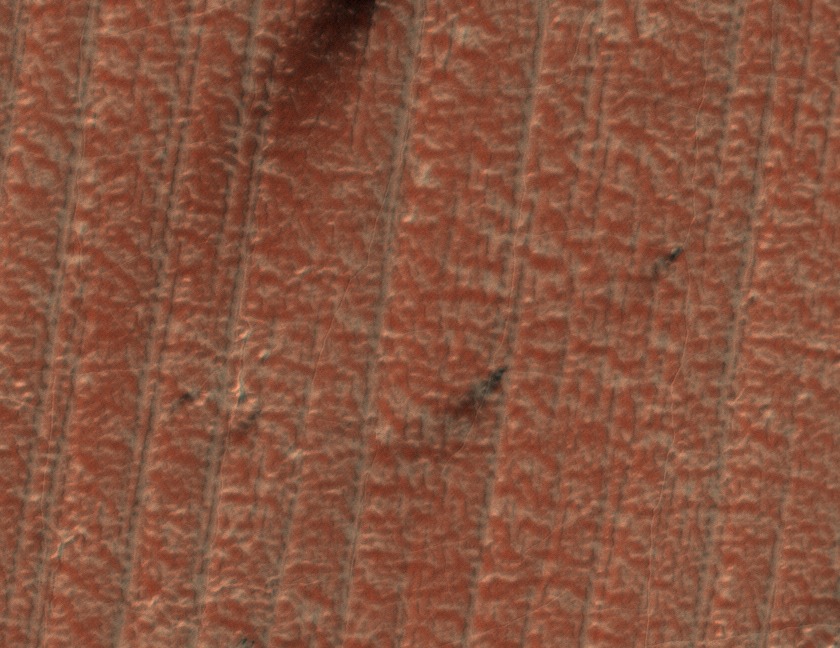
Thanks for getting back Anya! I have seen many images with parallel groove features but this one looked a little different. The others are more like Image APF000098l . Could be the same thing I suppose.
Posted
-
 by
A_Snail
by
A_Snail
Hi, I found similar lines in http://talk.planetfour.org/#/boards/BPF0000003/discussions/DPF00001zn
I'm not convinced they are glacier although they do look very similar things moving across each other e.g. Slickenside (but on a larger scale) and other things rubbing against each other.
The lines seem to cut through the dunes or what ever those ridges are. They also cut through the black marks left by the fan features that we are being asked to log which are probably quite fragile structures if they are the deposits from plumes.
A bigger picture and scale would help, but for now I would guess they are linked to the wind, perhaps this is an area with lots of dust devels given the features seem to start then stop again for no obvious reason.
A view of this area in winter/spring might also give a clue if its ice related.Posted
-
by
jules
Looks like the same region. Just had even more parallel grooves but still non as clearly ruler-like as these. This, for example, is very different: As illumination is the same for each image then we can rule out the effects of different illumination angles.
Posted
-
by
A_Snail
The above image does look similar. A few thoughts and observations:
First, The shape of the lumps generally have the rounded bit bottom left and a pointed/narrow bit top right which gives similar structures to glacial "Crag and tail". From this it would suggest the movement of the upper part of what ever is causing this is from bottom left to top right. Given there are no plate techtonics to move the ground, that would mean something moving across this area from bottom left to top right.
Secondly, I think the scale was described as each image is the size of two rugby pitches, so quite detailed. That been the case, perhaps these are layered sedimentary rocks that have been tilted, then erroded. This would give an alternating hard and soft rock surface. The softer rocks wear away and become dips with sand in them and leaving the harder rocks raised.
Again, more information about the surrounding area is needed
Posted
-
by
A_Snail
Similar lines in http://talk.planetfour.org/#/subjects/APF00000gh but the lines arn't straight.
I'm guessing this picture was taken near the poles, so this area would have been under ice during the winter. How quickly does the ice melt? Could these lines be some sort of daily marker as the ice retreats - should be possible to calculate if the lines are parallel to the sunset (shadow caused by the sunset) to see if the sun has any involvement.
If it is a daily thing, the marks might be some sort of wind effect - night winds or early morning thermals.Posted
-
by
jules
Those lines are different A_Snail - interesting! It looks more like the araneiform terrain to me than these parallel lines though the tracks are very distinctive.
There is now a blog about the parallel lines and I have now added a new word to my vocabulary: yardangs! 😃Posted